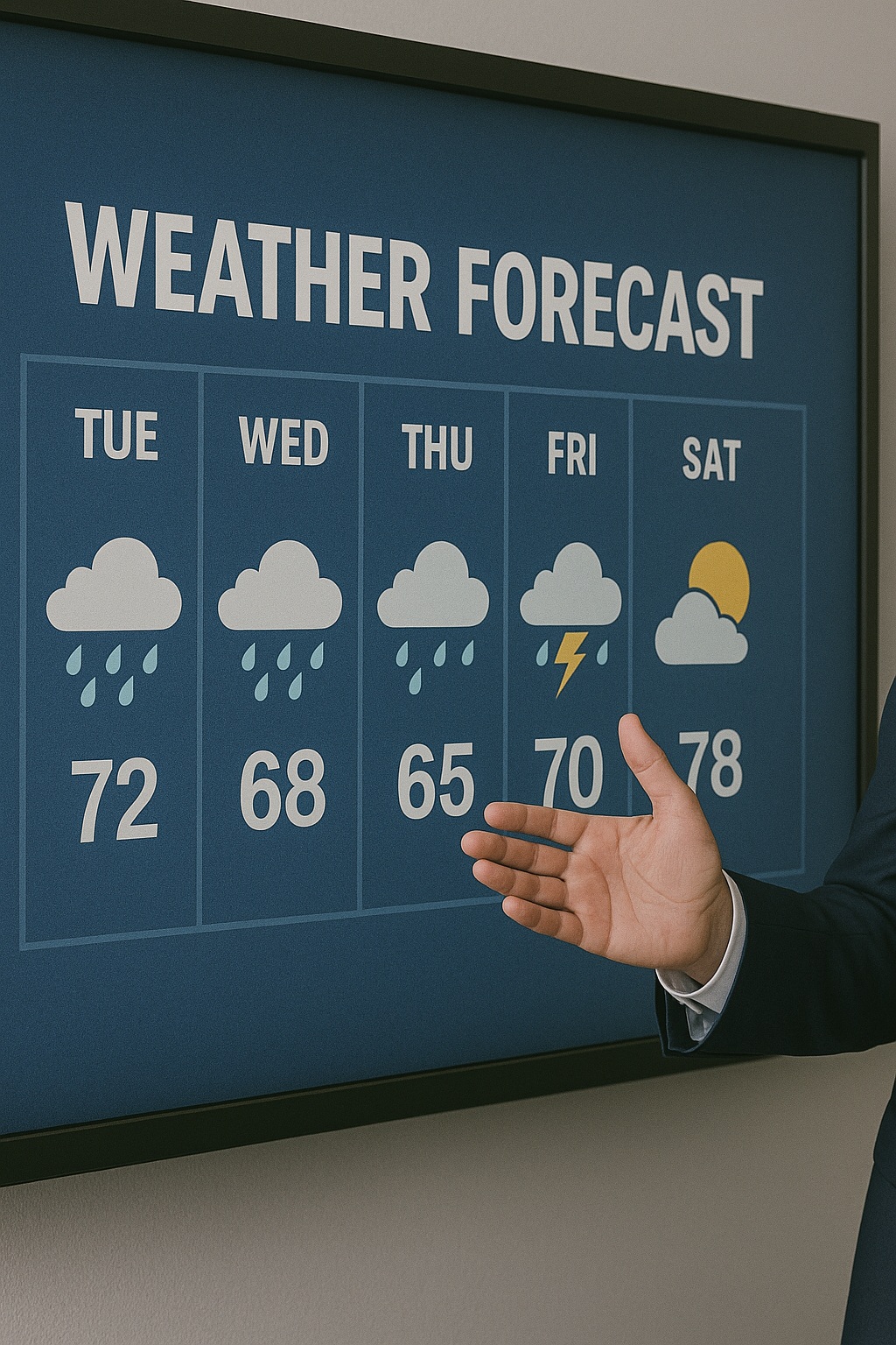
Las Vegas weather watch: Temperature recovery expected as week progresses

Weather & Climate – June 23, 2025
Southern Nevada residents can expect a steady return to typical late-June heat levels this week, as a developing high-pressure system gradually pushes temperatures back toward seasonal norms following the weekend’s brief respite from summer’s intensity.
Monday’s cool start sets the tone
The new week begins with notably comfortable conditions for Las Vegas, as morning temperatures dip to around 70°F under predominantly clear desert skies. This represents a pleasant departure from the valley’s typical early-summer warmth, offering residents and visitors a temporary break from the region’s characteristic heat.
However, breezy conditions will accompany the cooler start, with sustained winds expected between 15-25 mph throughout Monday. These gusts may create dusty conditions in some areas, particularly in the outer neighborhoods and desert outskirts where loose soil and construction activity can contribute to reduced visibility.
Monday’s high temperatures will reach the low-to-mid 90s, marking the coolest day of the week before the warming trend takes hold. This moderate heat level falls several degrees below the typical late-June average, providing ideal conditions for outdoor activities during daylight hours.
Mid-week temperature climb
The gradual warming pattern becomes more pronounced by Wednesday, when thermometers are forecast to climb back to approximately 101°F—aligning closely with historical averages for late June in the Las Vegas valley. This temperature represents the threshold where many residents begin adjusting their daily routines to accommodate the increasing heat.
The transition reflects the strengthening influence of a high-pressure ridge building across the Southwest United States. This meteorological pattern typically brings stable, dry conditions with minimal cloud cover, allowing maximum solar heating during daylight hours while maintaining the clear skies that characterize Southern Nevada’s desert climate.
Atmospheric pattern analysis
The high-pressure system responsible for this week’s warming trend represents a common summer weather pattern for the region. As the ridge intensifies and positions itself over the Southwest, it acts as a barrier to cooler air masses from the north while promoting subsidence—a process where air masses sink and warm, contributing to temperature increases.
This atmospheric setup also helps maintain the dry conditions that define Las Vegas summers, with virtually no precipitation expected throughout the week. The lack of moisture in the air allows for rapid heating during the day and relatively efficient cooling during overnight hours, though nighttime temperatures will gradually increase as the week progresses.
Extended outlook and seasonal context
By week’s end, high temperatures are projected to settle into the upper 90s, establishing a pattern that could persist into the following week. This progression follows the typical late-June trajectory for Las Vegas, where temperatures gradually build toward July’s peak heat levels.
The current forecast aligns with long-term seasonal expectations for the region, where average high temperatures during late June typically range from 98°F to 102°F. The brief cooldown experienced over the weekend represents a temporary deviation from this norm rather than any significant shift in the overall summer pattern.
Implications for daily life
The returning heat will require residents and visitors to resume typical summer precautions, including staying hydrated, limiting extended outdoor exposure during peak afternoon hours, and ensuring vehicles and homes have adequate cooling systems. The gradual nature of the temperature increase provides an opportunity to readjust to summer conditions rather than facing an abrupt heat surge.
For visitors planning activities in Las Vegas, the mid-week period offers a transition zone where morning and evening hours remain relatively comfortable for outdoor pursuits, while afternoon activities are best scheduled in air-conditioned venues or shaded areas.
Looking ahead
The developing weather pattern suggests that Las Vegas is settling into its characteristic summer rhythm, with the brief weekend cooldown serving as a temporary interruption rather than the beginning of any extended temperature relief. The strengthening high-pressure system indicates stable conditions ahead, with minimal chances for precipitation or significant weather variations.
This atmospheric setup benefits the tourism industry and outdoor event planning, as predictable conditions allow for confident scheduling of activities and events. However, it also signals the need for increased awareness of heat-related health considerations as temperatures climb back toward triple digits.
The return to seasonal norms reflects the transition from spring’s variable conditions to summer’s more consistent heat patterns, marking another step in Southern Nevada’s progression toward the peak temperatures typically experienced in July and August.
Regional weather context
The warming trend affecting Las Vegas extends across much of the Southwest, where similar high-pressure influences are promoting temperature increases. This regional pattern helps explain the persistent nature of the developing heat, as the atmospheric system encompasses a large geographic area rather than representing a localized phenomenon.
Neighboring areas including Henderson, North Las Vegas, and the broader Clark County region can expect similar temperature progressions, with some variation based on elevation and local topography. Desert communities typically experience the most pronounced heating, while higher elevation areas may see slightly moderated increases.
The stable atmospheric pattern also benefits air quality, as the high-pressure system promotes good ventilation and dispersion of any atmospheric pollutants, contributing to the clear skies and excellent visibility that characterize the region during such weather episodes.
Category: Weather
Subcategory: Weather
Date: 06/23/2025
